Places
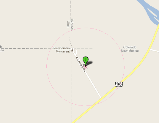
Places are described in Arctos using, independently, both coordinate and descriptive data. This is often conflicting. For example, the map below is of a “New Mexico” specimen that also maps to Colorado, Utah, and Arizona.
Additionally, descriptive data in Arctos are often incomplete and seemingly contradictory. For example, this spatial query:
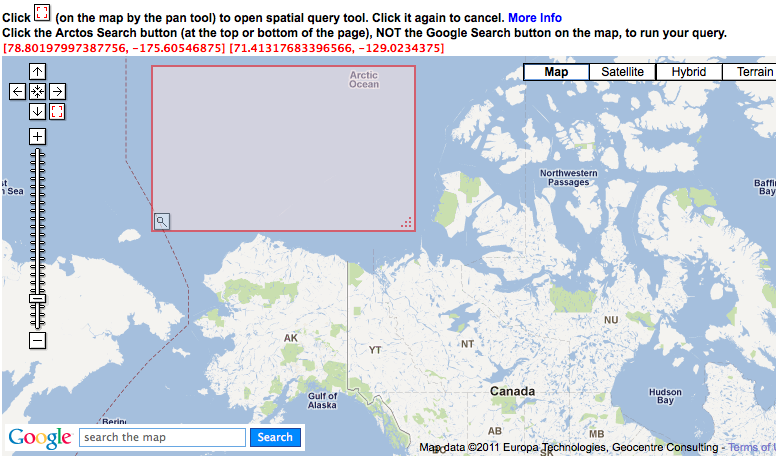
Returns these data:
CONTINENT_OCEAN |
COUNTRY |
STATE_PROV |
SEA |
|---|---|---|---|
| Arctic Ocean | -NULL- |
-NULL- |
Chukchi Sea |
| North America | United States | Alaska | Chukchi Sea |
| North America | United States | Alaska | -NULL- |
| North America | United States | Alaska | Beaufort Sea |
| Arctic Ocean | -NULL- |
-NULL- |
-NULL- |
| Arctic Ocean | -NULL- |
-NULL- |
Beaufort Sea |
| North America | United States | Alaska | Bering Sea |
| North Pacific Ocean | -NULL- |
-NULL- |
Bering Sea |
This virtually guarantees that descriptive queries will miss specimens.
Reversing the process, and querying on the more embarrassing values above, produces (as expected?) unexpected results.
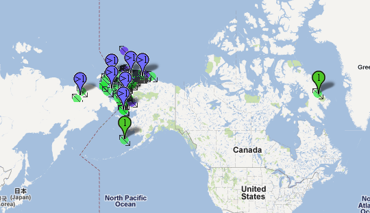
Arctic Ocean, Chuchki Sea
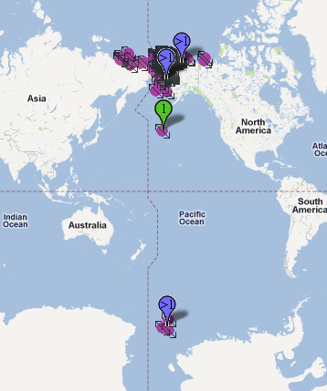
Chukchi Sea, North America, United States, Alaska
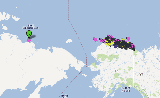
Beaufort Sea, North America, United States, Alaska
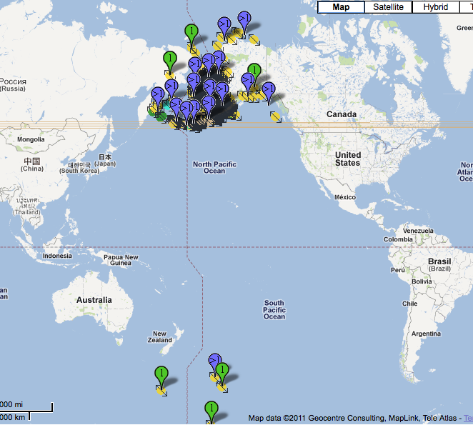
North America, Alaska, United States, Bering Sea
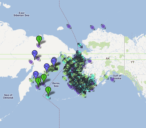
North Pacific Ocean, Bering Sea
Take-home message? Use coordinate query if at all possible, and expect the unexpected if you must use textual query.
## Edit this Documentation
If you see something that needs to be edited in this document, you can create an issue using the link under the search widget at the top left side of this page, or you can edit directly here.
